The Letterkenny Cathedral Quarter App was officially launched by Cathaoirleach Cllr. Gerry McMonagle at an event in Dillons Hotel last Wednesday night. The map was created as part of Donegal County Council’s collaboration with the Cathedral Quarter Group and the EU Northern, Periphery & Arctic funded IMPROVE project.
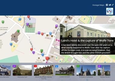
It is a map of 20 historical points of interest around the Quarter area. The Cathdral Quarter Group supplied all the information and images and the councils GIS services designed and produced the map for the group.
Speaking at the event the Cathaoirleach said this is a good example of collaboration between the counciI, its partners and communities within Donegal.
The map is designed as a self service walking tour where you can walk between points in a flow from Market Square up to the Cathedral, over past Sentry Hill to the College, back around by Loretto, down Church Lane and ending on the Main street again.
There are also QR codes which can be placed in shop windows so that tourists/anyone passing by can scan the code and it’ll take them directly to the map where they can explore the history of the town.
The Map is available here.
Select an option below